How to download a county map and route only inside it
Pick your county from the Choose a region tree in Route by Zaweba. Counties download small and prepare in seconds to minutes, then route offline.
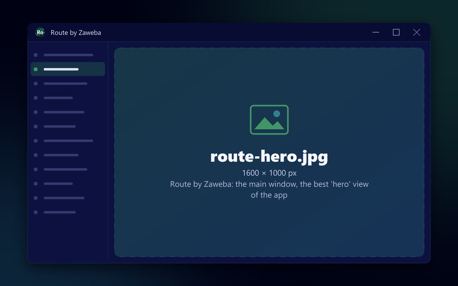
Pick your county from the tree under Map > Choose a region in Route by Zaweba. A county is a few megabytes to download and prepares in seconds to minutes. Once it is ready, the map, routing and address search all work offline inside that county.
For anyone whose work is local, such as a carer with a regular patch, a tradesperson who rarely leaves the area or a courier on a set round, a county is often all you need, and it is far quicker to set up than a whole country.
Why choose a county rather than a country
A country takes more of everything. Great Britain is about 2 GB to download and needs roughly 8 GB of free memory to prepare, and it fills more of your drive afterwards. A county is a few megabytes and modest in every way. It prepares on an ordinary laptop without trouble, and you are planning within minutes.
Smaller regions are also easier to keep fresh. When you want newer map data, preparing a county again is quick.
Choosing and preparing the county
Before anything else, open Settings and check where map regions will be kept. The folder must be outside the app's own folder, and it is worth choosing a drive with room if you might add more regions later.
Then open Map > Choose a region. The list comes from Geofabrik, shown as a tree of continents, countries and counties, with Great Britain at the top and a filter box to narrow it down. Type the county's name in the filter rather than scrolling. Each extract shows its download size and an estimate of preparation time and disk space, so you know what you are taking on.
Choose the county. A window shows the preparation steps, a progress bar and the engine's latest line: the download, checked against Geofabrik's MD5, then the address index, coastline and postcode data when needed, postcodes, the routing graph and map tiles. You can close the window and the status bar keeps showing progress. If anything interrupts it, it carries on from the first unfinished step.
Routing inside the county
Once prepared, search for a town, street, house number, named place, postcode or coordinates and start planning. Everything inside the county can be routed to. A stop outside it cannot, because the map has no roads there. If you type an address into a stop's dialog and it is not in the current region, Route tells you rather than guessing.
When your work crosses a border
Counties have edges, and journeys sometimes cross them. If a regular route runs over a county line, you have two choices. Prepare the neighbouring county as well and switch regions when needed, or prepare the larger region that contains both, such as the whole country, if your PC has the memory for it.
Coastal regions also download OpenStreetMap water outlines once, about 0.9 GB, so the first coastal county takes longer than its size suggests. After that, other coastal regions reuse them.
Clearing out regions you no longer need
The region chooser lists the regions already on this PC, ready or part-way, and lets you use, resume or delete each one. If you prepared a county for a one-off job, delete it afterwards to keep space free. Map > Open the regions folder shows each region's folder, so you can see what each takes.
Saved routes are kept separately in .ozroute files, so deleting a region never deletes your plans. Prepare it again later and the routes open as before.
A small region, a full planner
Nothing is cut down by choosing a small area. Inside your county you get fastest or shortest routing, via points, avoid options, multi-drop optimisation with time windows, turn-by-turn directions, fuel cost and exports to PDF, GPX, Google Maps links and CSV. Route by Zaweba simply does it over the ground you actually cover.